
Noudar Castle
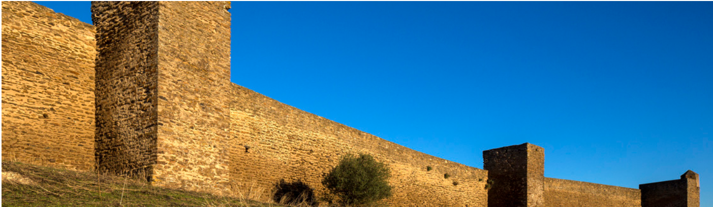
The Castle of Noudar is located between the Múrtega and the Ardila rivers which flow towards the West. Its construction was finished in 1307, during the reign of Don Dinis.
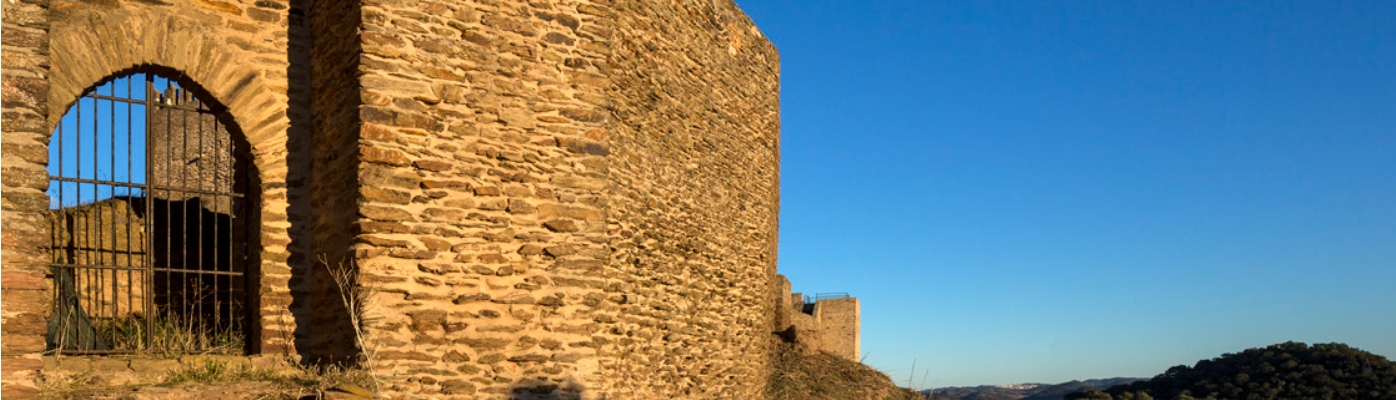
The place was chosen because of its natural defenses, easy access and the closeness of a water spring of excellent quality – Fonte da Figueira, located roughly 250 meters to the East of the castle, under the hilltop known as Forca (“the Gallows”). Good and plentiful farming land and cattle grazing fields can also be found near the castle.
This medieval fortress was very important for border defense against the kingdom of Castile during the early 14th Century.
Once the border with Castile was finally established, Noudar was given muncipal status (“Carta de Foral”) in 1295 by Dinis, who sought the repopulate the territory. This need was behind the establishment of the first “Couto de Homiziados” – a place where those who had been condemned by the justice system could live in peace, as long as theydid not eave the area. From the 15th Century onwards, a few groups of families begin to settle in small hills where agriculture and animal husbandry were practiced.
During the Middle Ages, Barrancos evolved and this village’s population soon became much larger than Noudar’s. Most of the new settlers from the edges of Noudar’s territory began congregating around Barrancos. In 1493, this concentration spurred the Portuguese crown to conduct an investigation about the village of Barrancos, which was claimed by Castile but in fact belonged to Portugal. Barrancos’ development began during the 14th Century and its later 16th Century growth coincided with the dwindling of Noudar’s population. By 1774, Barrancos shared county seat status with Noudar, but finally, in 1836, the municipality of Noudar ceases to exist.
CASTLE TIMETABLE (CLOSED ON MONDAYS)